I spend a lot of my free time thinking about how the brands I love in Vermont could push their digital experiences further. I can’t help it! I see a brand doing something great and I immediately start thinking about what else they could build.
I’ll give you an example.
Lawson’s Finest Liquids is one of Vermont’s most beloved craft breweries, and they’re in the middle of expanding into new markets along the East Coast. Their brand is incredible, their community impact is real, and their commitment to freshness is central to everything they do. But that story is mostly told through a traditional website. I kept thinking: what if you could experience that expansion as a journey?
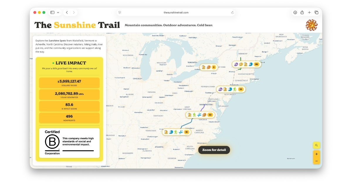
So I built The Sunshine Trail, an interactive map that connects Lawson’s home in Waitsfield, Vermont to Asheville, North Carolina. 791 miles of mountain communities, outdoor adventures, and cold beer.
The map shows every Lawson’s location I could identify (breweries, retailers, bars, restaurants) alongside hiking trails, river put-ins, community partners, and DC fast chargers along a scenic road trip route through the Blue Ridge Parkway, Skyline Drive, and Vermont Route 100. Every design element pulls directly from Lawson’s brand: their colors, their fonts, their custom SVGs, even the signature wave animation from their website. It should feel like something Lawson’s built themselves.
But the details are where it gets fun. Hover over “Sunshine” in the header and god rays shoot across the page. On HDR displays, the sun pushes brightness beyond standard range. Hover over “Cold Beer” and it starts snowing, a nod to their chain of freshness promise. The Sip of Sunshine logo spins with real momentum physics, and clicking it launches emoji bursts. None of these get in the way if you’re just there for the map. That’s the whole point of them being Easter eggs.
The live impact widget projects real historical data forward, showing dollars raised and solar energy generated ticking up in real time. Community partner popups tell actual impact stories with donate buttons linking directly to each organization. An email capture modal triggers after 30 seconds on the route view, creating a natural top-of-funnel opportunity with genuine value exchange: a curated road trip itinerary.
I built the whole thing with Claude as a coding partner, tested it across 15 screen sizes, and added full accessibility support throughout. On mobile, tilting your phone creates wind that blows the snowflakes. The map expands when you tap a marker so you have room to actually read the popup. Every interaction is designed to teach you how to use the site without having to explain anything.
If you want to explore it, the site is live at thesunshinetrail.com. It’s password protected, so use “linkedin” to get in.